Attu, Alaska

In July of 2024 I was invited to join a crew who had received funding to travel to Attu Island and conduct a sonar survey for WWII shipwrecks. When I was an undergraduate at University of Washington I double majored in History and Anthropology and always considered myself a WWII history buff. During WWII, Japanese forces invaded Attu Island and took the people living there as POWs, leading to the deaths of many of the people from the village. To take back Attu the military attacked the Japanese forces, the fighting was fierce, the Japanese were told there would be no reinforcements and ordered the solders to fight to the last man. The US forces were ill prepared, many supplied with gear meant for Africa rather than the Aleutian Islands, which led to many casualties and injuries caused by the environment rather than the enemy. The US succeeded in taking back the island, but the cost was high. Following the war, the people who lived in Attu were not allowed back to their homes. I’m from the Eastern Aleutians, and Attu is the farthest island west, so I don’t have any direct relatives who were from Attu, but it has always been a dream of mine to go there, so I jumped at the chance to join the crew. We started our voyage in Adak, which has a Naval and Air Station built during WWII and has an active runway with commercial flights. Adak is about half way along the 1,200 mile chain of islands. From Adak it was about 50 hours by boat heading along the chain to get to Attu.

Adak airport.

There are places on Adak with unexploded WWII ordinance.

WWII plaque on Adak Island.

Welcome to Adak!

The research vessel that took us from Adak to Attu.

Buildings (many abandoned) at Adak.

WWII bunker.

Welcome to Adak sign.
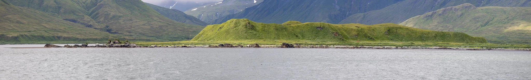
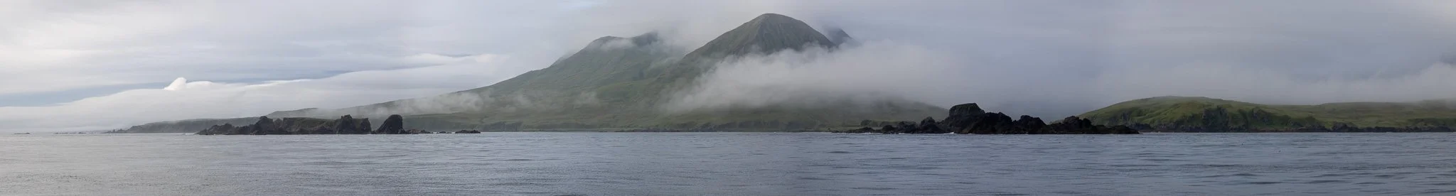
I tried to get a picture of each of the large islands between Adak and Attu, most are not what I could call good photographs, but I wanted to document what each island looked like. The Aleutians are notorious for low visibility, so I wasn’t surprised that many of the Islands weren’t visible, especially in the Rat Island group. Of the Islands we could see, I was most impressed with Tanaga Island which has a famous waterfall on the north side of the island, and it was such a nice day when we passed that we were able to sail close enough to get a good view. Some of these photos are from on the way out, and some from on the way back.

Tanaga Island.

Tanaga Island.

Tanaga Island.

Sonar strapped down as we travel down the islands.

Bering Sea with Tanaga in the background.

Whitecaps in the Bering Sea.

Bering Sea waves.

Shemya, Nizki, and Alaid Islands.

Agattu Island.


Leaving Attu Island.

Buldir Island.

Tanaga Island.

Tanaga Island.

Tanaga Island.

Tanaga Island.

Tanaga Island.

Tanaga Island.
Once we got to Attu we spent a lot of time in Massacre Bay, and some time in Holz Bay, as well as farther out in the ocean to the north of Attu looking for shipwrecks. We would start in one area and do transects in a study area. The sonar had amazing resolution, with the ability to map the seabed with up to 3mm resolution. During the transects we would watch the screen and when something was found it would be marked and re-examined after finishing the transects. We found multiple ships and a ton of smaller things like submarine netting, and even a torpedo. There have been a few articles written about the expedition and go into more detail about the project itself, including a publication I wrote about my experience.
Off the coast of Attu doing transects.

Lowering the sonar.

View of sonar screen.

Bottom view of of real time sonar.

Portion of shipwreck.

View out of porthole as we do transects in Massacre Bay.

Doing transects in Massacre Bay.

Historic structures in Massacre Bay.

Dragging the sonar.
Head of Massacre Bay.

Historic structures in Massacre Bay.

Historic structures in Massacre Bay.

Off the coast of Attu doing transects.

Sun shining through the clouds in Holz Bay.

Submersible ROV with cameras used to check shallow finds.

Taking underwater pictures in Holz Bay.
Pano of Holz Bay.

Chichagof Harbor, the historic village of Attu was at the head of the bay behind the rocks.

Chichagof Harbor, the historic village of Attu was at the head of the bay behind the rocks.
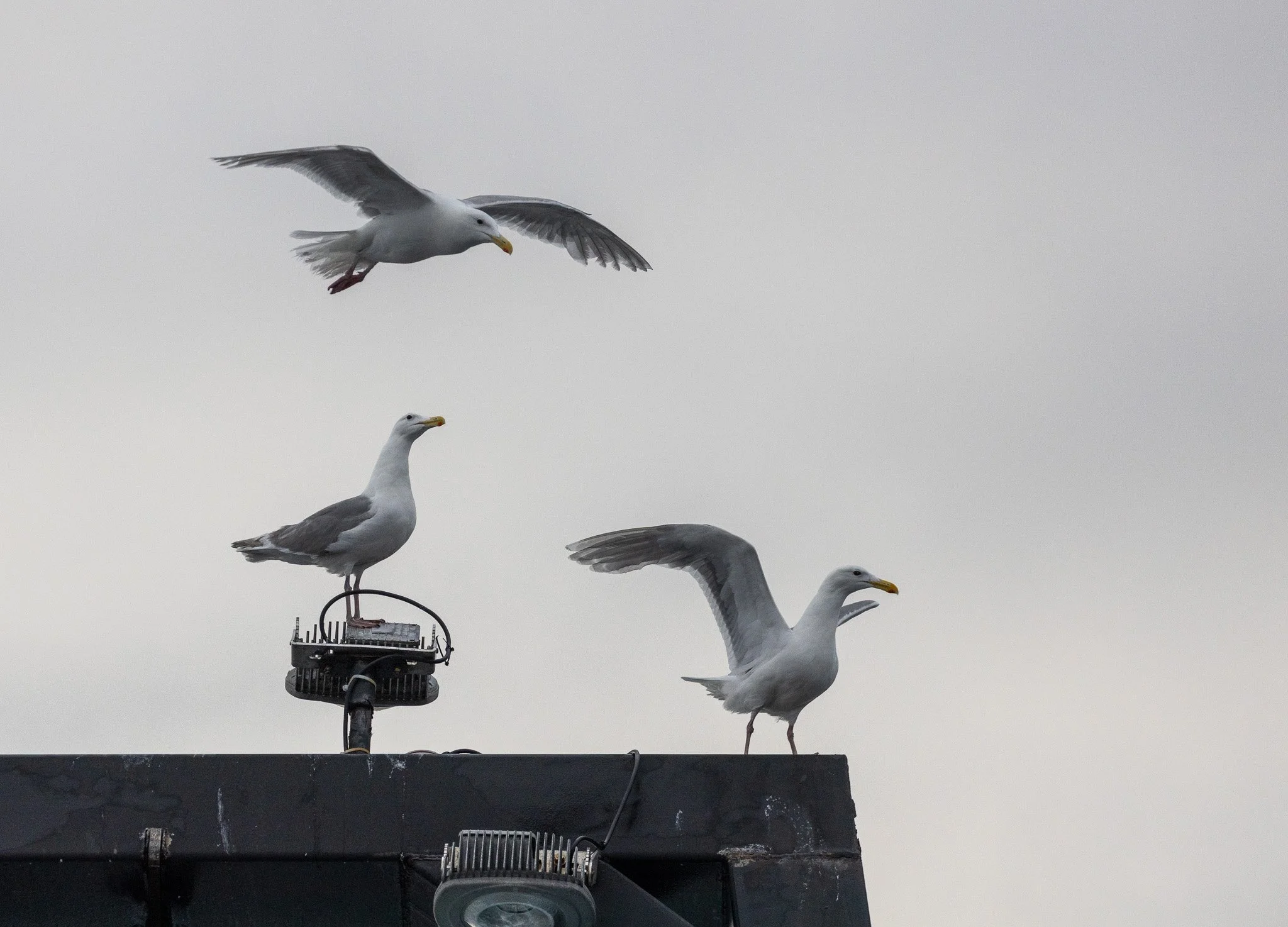
Most of the Aleutian Islands are part of the Alaska Maritime National Wildlife Refuge, and host an incredible amount of wildlife, especially birds. This was the first time I had ever gone west of Unalaska, and it was interesting for me to see the similarities and differences in the natural environment between the western and eastern Aleutians. I’m not an expert at bird identification, so I hope I label the pictures correctly, but don’t expect them to be 100% right.

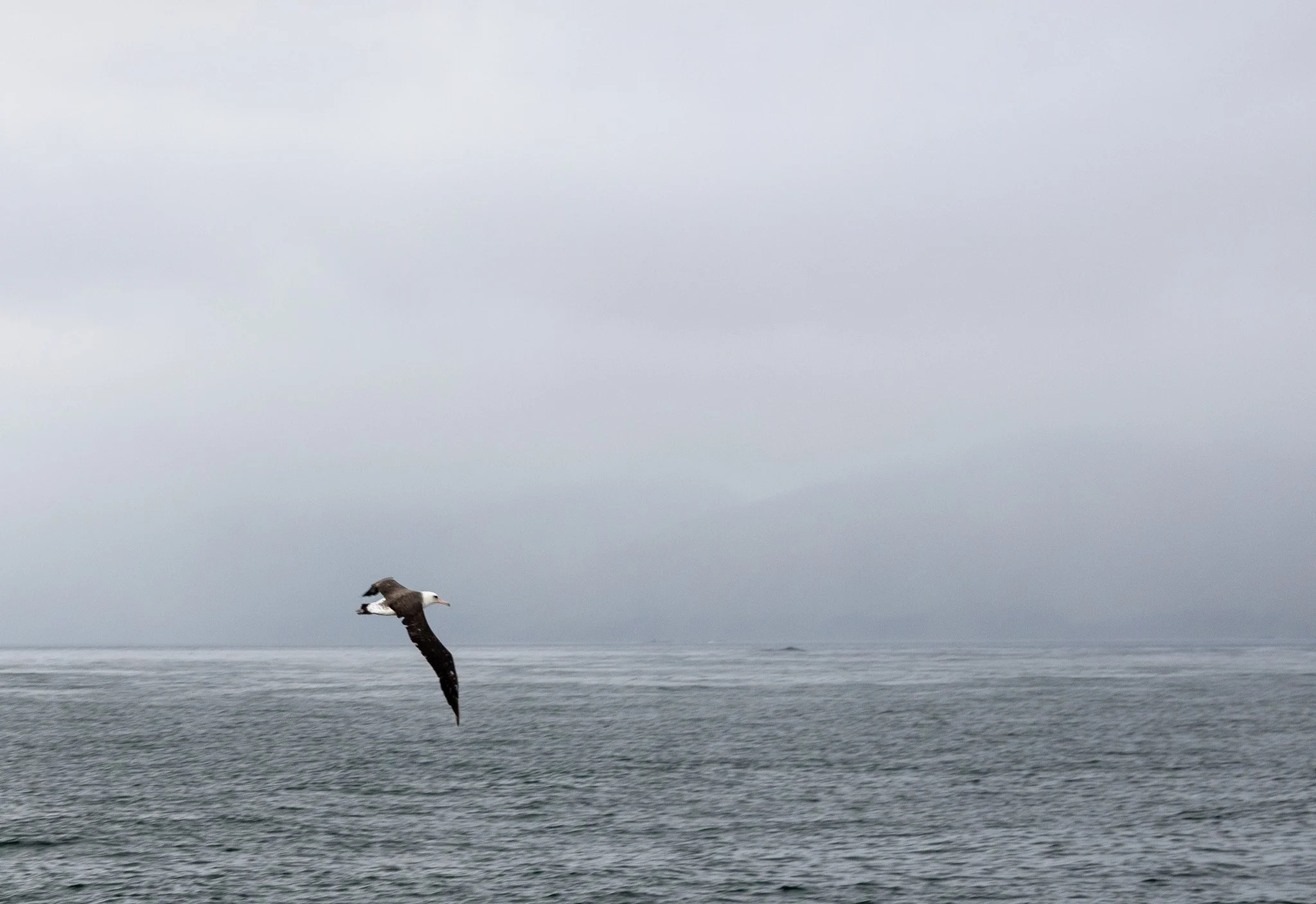
Albatross.

Albatross.

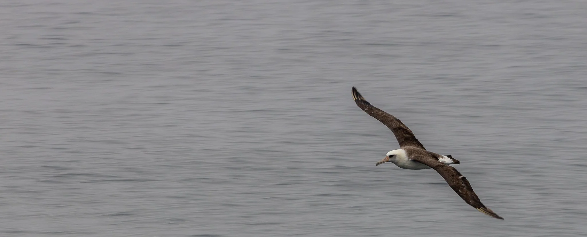
Albatross.

Albatross.

Sea Gulls.

Auklets.

Whale.
Sea Gulls.

Sea Gulls.
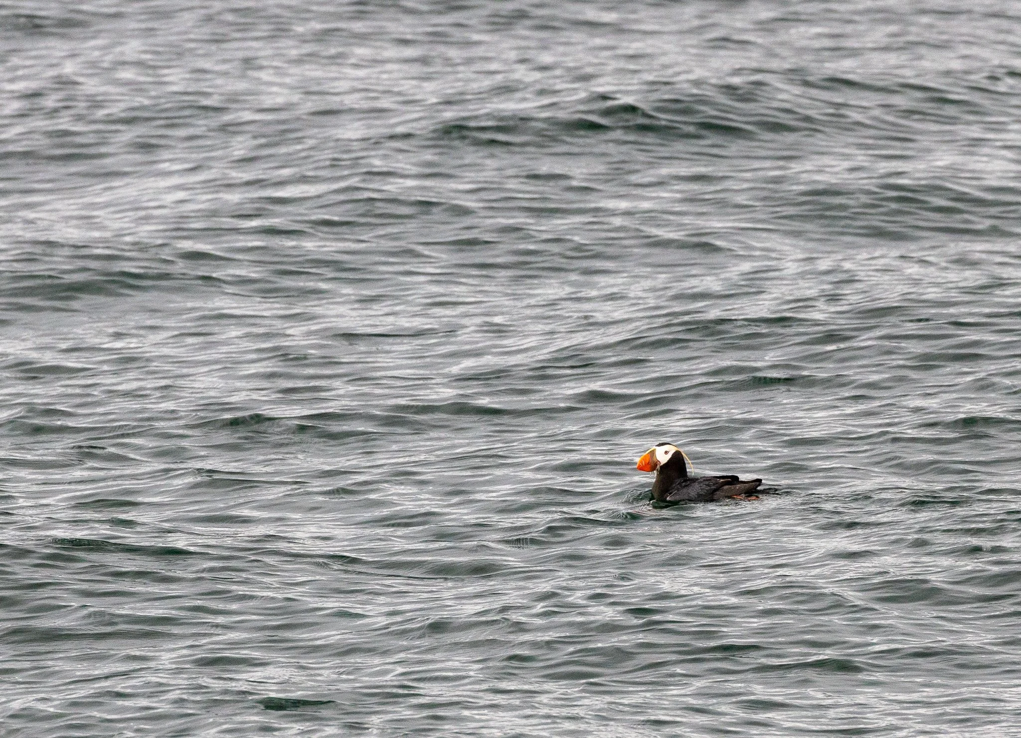
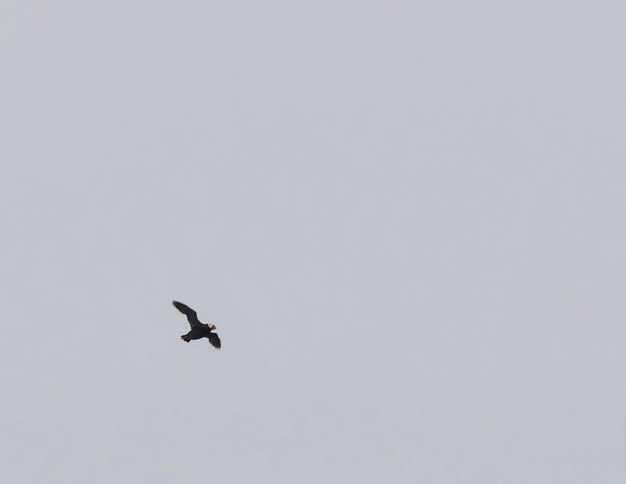
Puffin
Albatross.
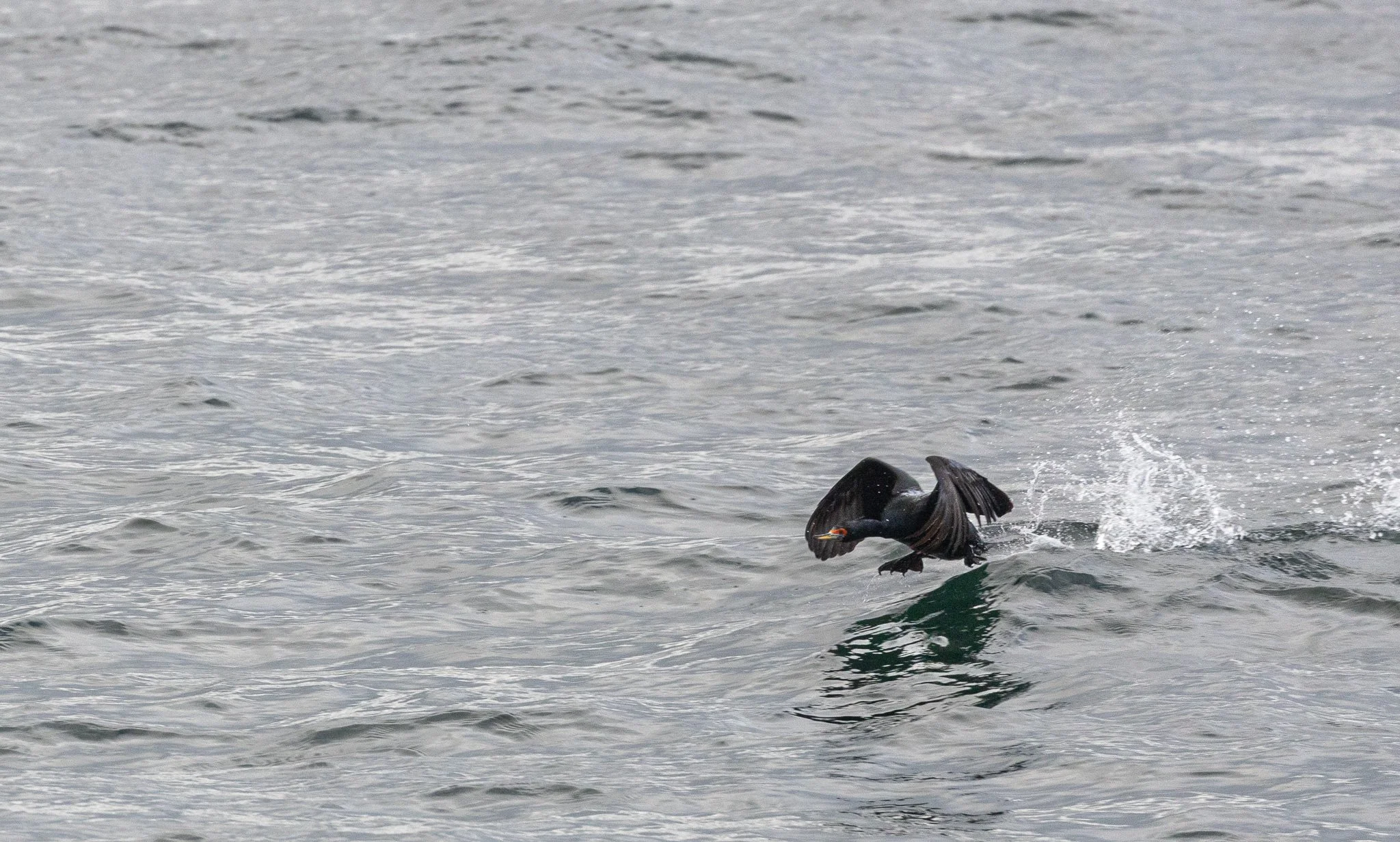
Cormorant.

Cormorant.

Fulmer.

Murres.

Puffin.

Sea Gull.

Puffins flying.
Puffin.

Fulmers.

Albatross.

Fulmer.

Puffins flying.

Puffin.

Puffins flying.

Sea Gull.

Albatross.

Whale.

Whale.
Albatross.

Albatross.

Pilot Whale

Albatross.

Killer Whale.

Killer Whale.